The quick version
- Vatnajökull spreads across southeast Iceland as a dome of ice that pushes out through many outlet glaciers. Its thickest point is 3,120 feet (950 m) deep.[1]
- Deep glacier ice holds large, dense crystals. They absorb long wavelengths of light and scatter short blue wavelengths back, so the ice reads as blue.[2]
- Jökulsárlón is 248 meters (814 feet) deep and has quadrupled in size since the 1970s.[3]
- A natural ice cave in Vatnajökull forms in October, holds through the winter, and is taken back by returning meltwater in May.[4]
- Jökulsárlón sits about 370 km (230 miles) from Reykjavík, roughly 5 hours each way along Route 1 in good conditions.[5]
- Top choice Ice Cave Guided Tour from US$164 Duration3 hours[6]Rating4.25 from 2,171 reviews[6]GuideLive tour guide in EnglishCancellationFree cancellation up to 24 hours[6] Check availability
- Crystal Ice Cave Super Jeep from US$173 Duration2.5 hours[7]Rating4.21 from 1,751 reviews[7]GuideLive tour guide in EnglishCancellationFree cancellation up to 24 hours[7] See this tour
- The Original Ice Cave Tour from US$161 Duration3 hours[8]Rating4.61 from 1,129 reviews[8]GuideLive tour guide in EnglishCancellationFree cancellation up to 24 hours[8] See this tour
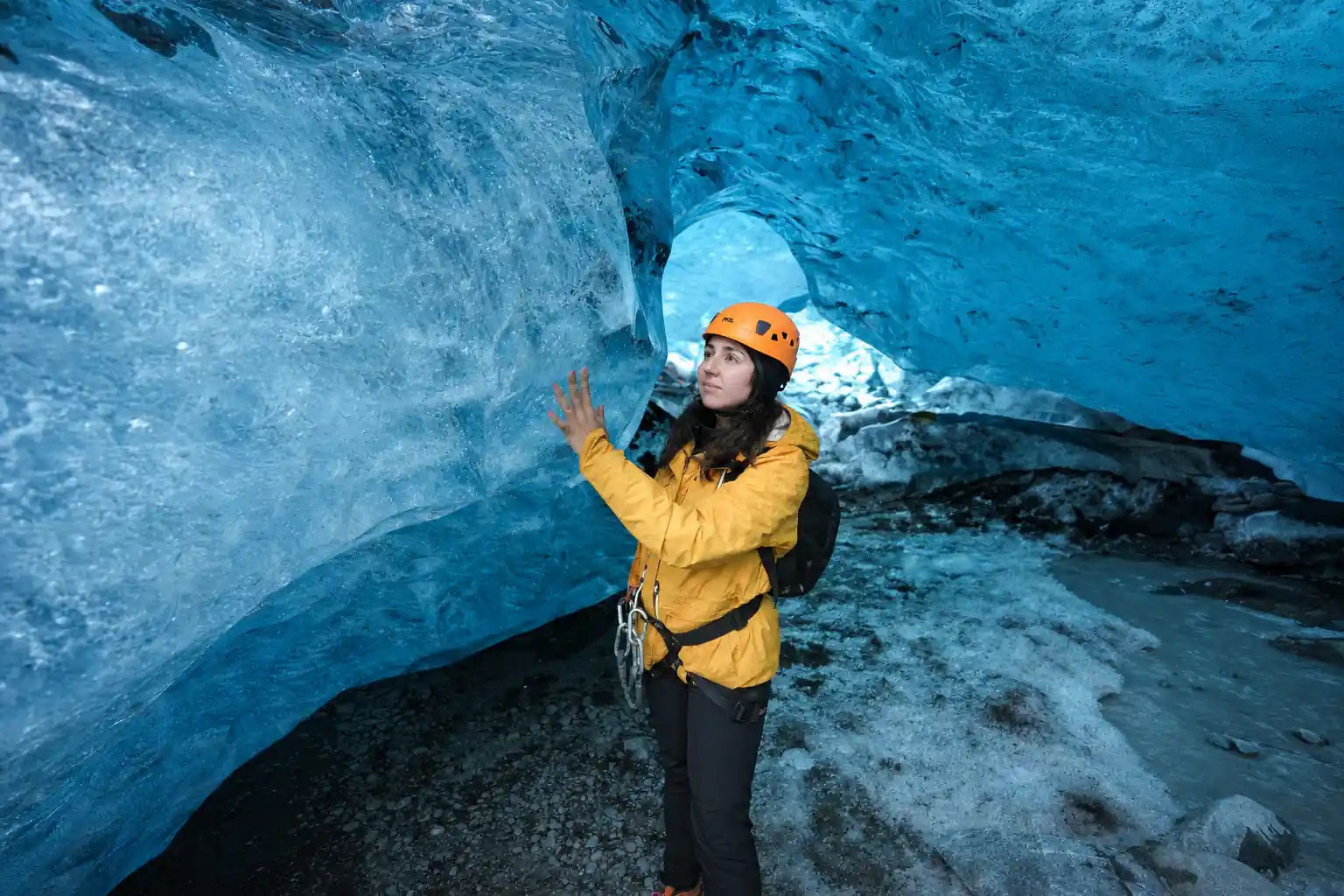
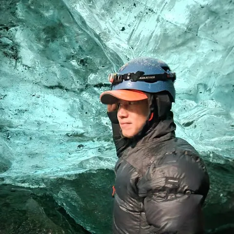
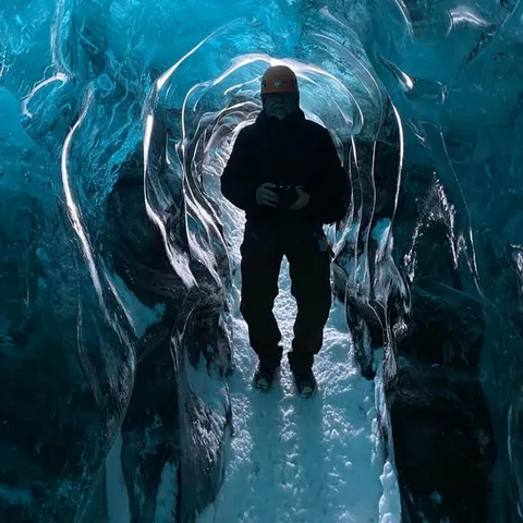
An ice cave in Vatnajökull typically lasts one winter. The summer meltwater channel that shaped it drains and firms up in October, stabilises through November, holds its coldest and bluest form from December to February, ages through March and April, and is taken back by meltwater in May.
Is the Jökulsárlón ice cave tour worth it?
Know this first
- Choose a winter date; natural ice caves only exist in the colder months
- Compare ice cave, glacier hike and super jeep options by duration
- Read the cancellation terms before you commit to a date
- Weekend departures and small group slots fill first
On the day
- Allow a full day to reach Jökulsárlón and get back to your overnight stop
- Expect a jeep or super jeep transfer between the lagoon and the glacier
- Warm base layers, waterproof shell, hat and gloves
- Helmets and crampons are usually handed out at the meeting point
The Ice Cap That Dominates Iceland's Southeast
Vatnajökull is not a single glacier tongue but an ice cap: a broad dome of ice sitting on high ground in southeast Iceland and spilling outward through many outlet glaciers. From the Ring Road it hides behind black gravel plains and low ridges, then suddenly fills the horizon in white and stays there for kilometres of driving. What you see is only the skin of it. The thickest point of the ice cap reaches 3,120 feet (950 m) in depth, and the average thickness is 1,250 feet (380 m).[1]
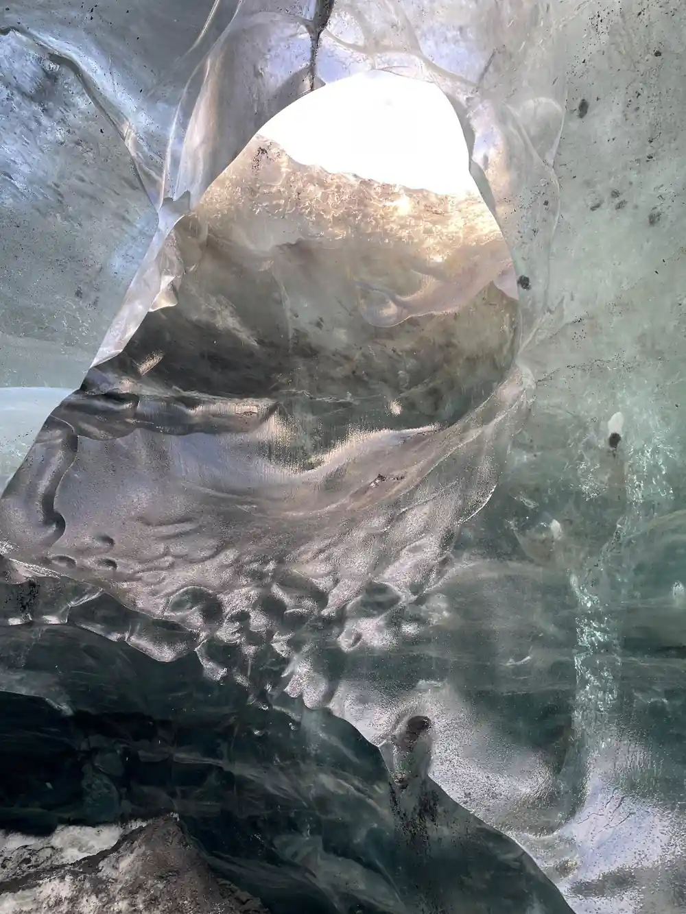
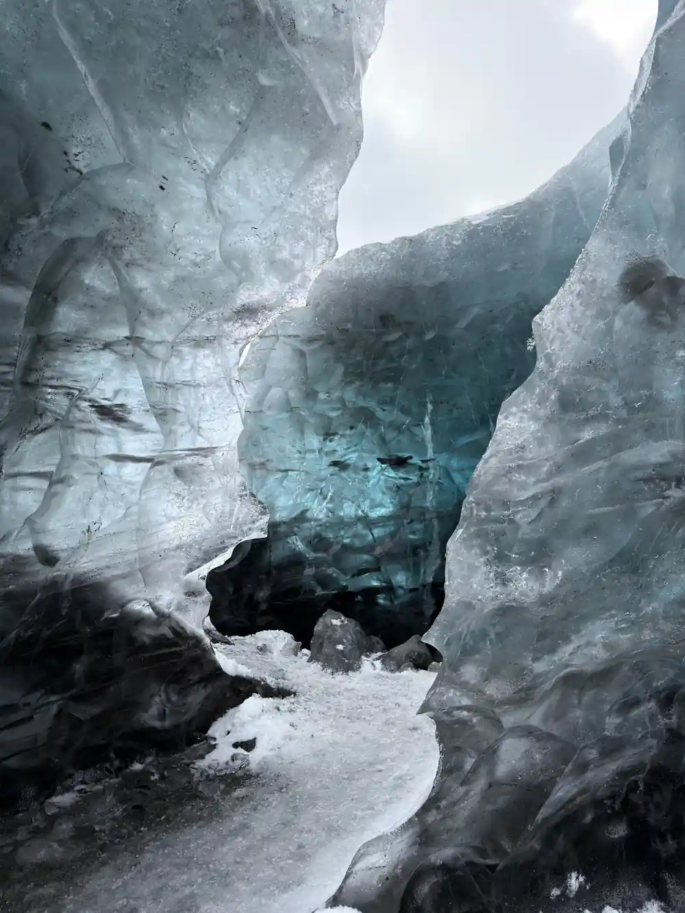
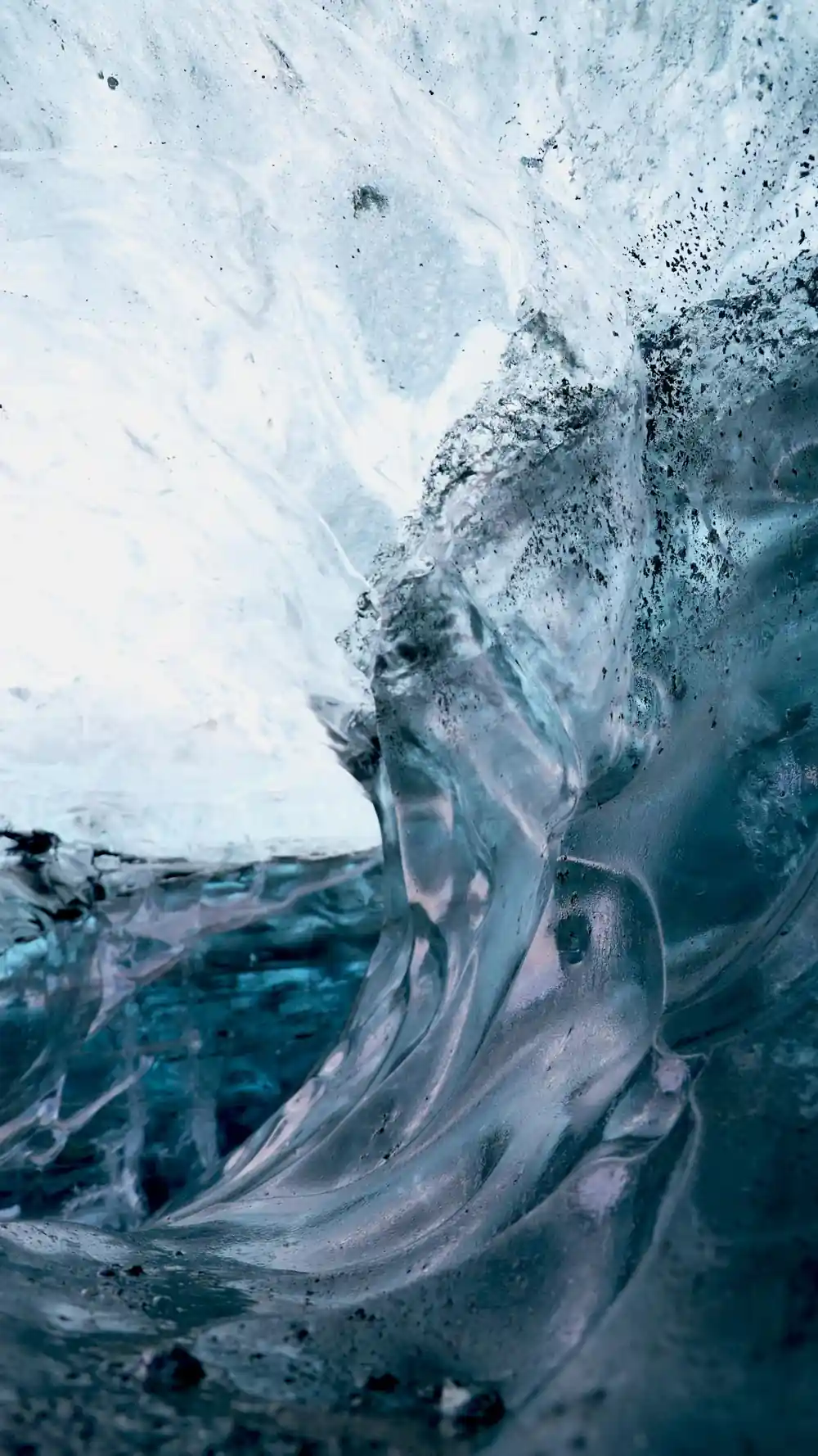
In summer the surface is gritty and grey with ash and dust, and it creaks underfoot. Deeper in, where ice has been compressed under the weight above it and most of the air has been squeezed out, the colour changes completely. Light behaves differently in that old ice: long wavelengths are absorbed by the crystals, while short blue wavelengths are scattered back, which is why the ice reads as blue rather than white.[2] A guide with a lamp makes the difference obvious. Hold a light against a cave wall and the blue seems to come from behind the ice, not from the beam.
Active Volcanoes Beneath the Ice
An ice cap this size sits on top of a restless landscape. Vatnajökull covers volcanic systems that stay active under the ice, melting the base of the glacier from below all year round. Between bedrock and ice there are caverns, channels and lakes of meltwater held under enormous pressure, and sooner or later the water finds a way out. When it does, it can leave the glacier in a surge of grey floodwater that sweeps across the sandur plains toward the coast.
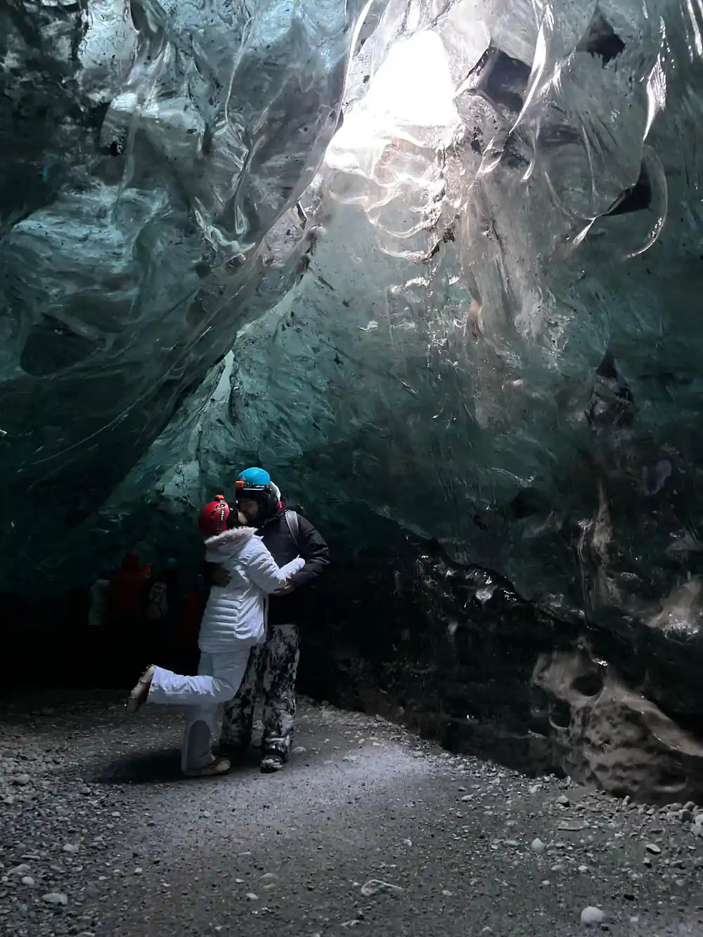
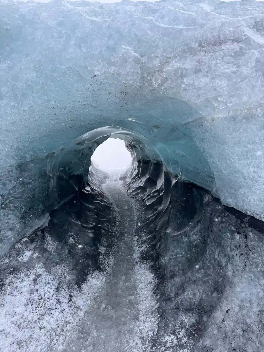
That combination is what makes the southeast so strange to look at. Steam can rise from a fissure in the ice while the surface around it stays frozen, and ash from past eruptions still lies in dark bands across the glacier and along the black sand beaches. None of it holds still. The landscape you walk through on a guided tour is this winter's version of it, and the caves in particular are temporary rooms carved by meltwater and shaped by the cold.
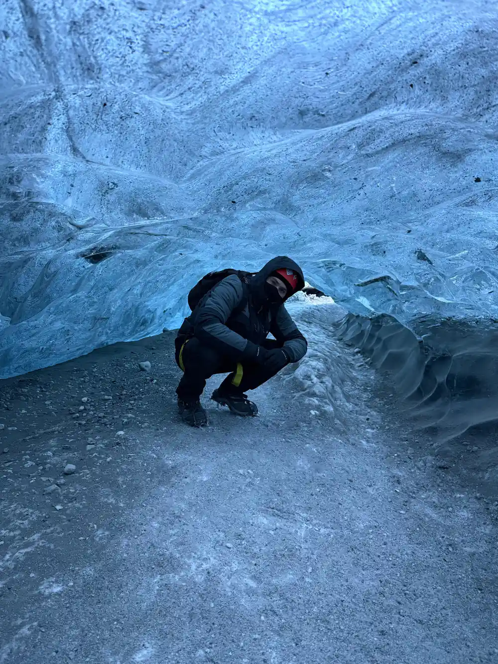
Blue ice inside the caves shifts from pale grey to deep cobalt as the light moves behind it.
How Jökulsárlón Lagoon Was Formed
The lagoon started as something much older and much smaller. Also called Jökulsárlón Lagoon, the tidal inlet was excavated during the last glacial advance, about 26,500 years ago.[9] For most of that history it was a narrow channel between the sea and the ice margin. What turned it into the wide, iceberg-filled expanse visitors see today is the retreat of Breiðamerkurjökull, the Vatnajökull outlet glacier that calves into it.
That retreat has been quick. Where Breiðamerkurjökull calves into the lagoon, the annual rate of retreat in recent years has been up to 200-300 m.[10] As the ice edge steps back it leaves a deepening basin behind, seawater and meltwater fill the space, and the calving front moves further from the coast road each year. The icebergs drifting past the car park are pieces of the glacier that have only just let go, and they melt away before long.
A Lagoon That Grows Every Year
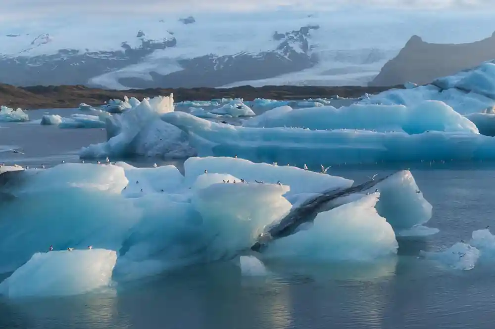
The numbers behind Jökulsárlón are startling. At 248 meters (814 feet) deep it is a serious body of water, and it has quadrupled in size since the 1970s.[3] Icebergs break off the calving front and drift slowly toward the narrow outlet to the sea, turning and rolling as they go. Some of them carry ice that formed a very long time ago: a few of the bergs are thought to be made of ice more than 1,000 years old.[3]
Wildlife moves in alongside the ice. Harbour seals are the most common seal species in the area, and they can often be seen cruising between the bergs or resting on the ice itself.[11] At the mouth of the lagoon the current pushes smaller chunks onto the coast. That is Diamond Beach in Southeast Iceland, black volcanic sand scattered with clear glacial ice that broke off Breiðamerkurjökull, drifted through the lagoon and washed ashore.[12] It is a short walk from the main car park, and the pattern changes with every tide.
from US$164
The ice cave tour booked here meets at Jökulsárlón, travels by jeep into Vatnajökull National Park and back, and runs 3 hours.[6]
UNESCO World Heritage in the Ice
The ice cap sits inside Vatnajökull National Park, a protected area that takes in the glacier, the sandur plains, the lagoon and the outlet valleys around it. The park holds UNESCO World Heritage status, and much of what is protected here is exactly what visitors come to see: an ice cap, volcanic systems under it, and a lagoon that keeps redrawing its own shoreline. Protection here is not about keeping people out. It is about keeping the traffic on ground that can take it.
The place is busy. Rangers at Jökulsárlón Glacier Lagoon have faced one of their busiest summers on record, with around 100,000 tourists visiting in July alone.[13] Boardwalks, marked paths and parking areas around the lagoon and Diamond Beach carry most of the footfall, and ice cave visits run with a guide who knows which tunnels are holding up that week.
Sagas, Films, and the Glacier's Cultural Legacy
Jökulsárlón Glacier Lagoon has been a filming location for A View to a Kill, Die Another Day, and Lara Croft: Tomb Raider.[14] A lagoon full of icebergs behind a black sand shore gives any scene an instant sense of scale, and film crews have made use of it more than once.
The glacier also sits inside a longer tradition of travel writing and local naming. Outlet glaciers here carry old descriptive names, tracks and farms along the sandur take their bearings from the ice, and the routes people use shift as the glacier edge shifts with them. For travellers, that cultural layer shows up in practical ways: in guides who work this terrain season after season, in meeting points that move with the ice front, and in a winter economy built around the months when the caves exist.
The lagoon never looks the same twice. Ice that was part of the glacier last week is floating past the car park this week and gone the next, so writers and filmmakers rarely need to add anything to it. Point a camera at the water and the movement does the work.
Planning Your Visit to the Ice
Jökulsárlón is about 370 km (230 miles) from Reykjavík along Route 1, the Ring Road, and the drive takes roughly 5 hours each way in good conditions.[5] That makes a same-day return from the capital a very long day, so most people break the journey in Vik or Kirkjubæjarklaustur, or stay near the lagoon and be on the ice the next morning.
Timing decides what is possible. Natural ice caves form in October and last through April before returning meltwater takes them back in May.[4] Winter in Iceland averages around 32°F (0°C), and daylight runs from 4 to 5 hours in late December to about 21 hours by late June.[15] A December visit is a short, dark, dramatic day, while a March visit gives you longer light and ice that is still properly cold.[4][15]
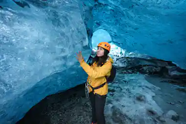
The tour booked from this page, the Vatnajökull Ice Cave Guided Tour, meets at Jökulsárlón and rides by jeep into Vatnajökull National Park and back. It runs 3 hours with a live English-speaking guide, costs from US$164, and can be cancelled free of charge up to 24 hours in advance.[6] Helmets are generally provided inside the cave, and they earn their place: they protect against falling ice and low-hanging ceilings.[16] Wear warm, waterproof layers, bring gloves and a hat, and expect to move sideways through passages that are narrower than you imagined.
Ice cave and glacier tour durations from Jökulsárlón
Ice cave and glacier tour prices from Jökulsárlón
All amounts are the from-prices listed for these tours:[6],[7],[8],[17]. Child places are not priced separately in the listings.
When to go for the ice caves
How to plan an ice cave day
Pick your season first
Natural ice caves only exist in the colder months, so a winter date is the starting point for any cave tour from Jökulsárlón.
Book before you drive
Cave tours leave in small groups and the popular slots go first. Booking ahead also gives you free cancellation up to 24 hours before.[6]
Give the drive a full day
Jökulsárlón is a long way from Reykjavík along Route 1, so plan an overnight on the south coast rather than a rushed return.[5]
Layer up properly
Warm base layers, a waterproof shell, gloves and a hat. The cave is cold and the jeep ride across the sandur is exposed.
Meet at the lagoon
Check-in is at the Jökulsárlón meeting point before the jeep transfer into Vatnajökull National Park. Arrive early; parking fills up.
See the blue ice inside Vatnajökull for yourself this winter
from US$164Reserve now & pay later