The quick version
- Jökulsárlón opens with a yoh sound and Vatnajökull is roughly VAHT-na-yuh-kutl; both get easier once you split them into pieces.
- Jökull is glacier, lón is lagoon and vatna is water, so the south coast starts reading like a description once you know the building blocks.
- A natural ice cave in Vatnajökull lasts one winter, forming in October and remaining through April before returning meltwater takes it back in May.[1]
- The thickest point of the Vatnajökull ice cap is 3,120 feet (950 m), with an average thickness of 1,250 feet (380 m).[2]
- The Jökulsárlón: Vatnajökull Ice Cave Guided Tour lasts 3 hours and starts from US$164, with free cancellation up to 24 hours in advance.[3]
| Jökulsárlón | Vatnajökull | Breiðamerkurjökull | |
|---|---|---|---|
| Say it | YOH-kul-sowr-lon | VAHT-na-yuh-kutl | BRAY-tha-mer-kur-yuh-kutl |
| Built from | jökull + á + lón | vatna + jökull | breiður + merkur + jökull |
| Means, roughly | glacier river lagoon | water glacier | broad landmark glacier |
| What you see | Icebergs, seals and Diamond Beach ice | The ice cap feeding the outlet glaciers | The tongue that calves into the lagoon |
| Number to know | 248 meters (814 feet) deep[4] | 3,120 feet (950 m) at its thickest point[2] | Up to 200-300 m of retreat a year[5] |
An ice cave in Vatnajökull typically lasts one winter. The summer meltwater channel that shaped it drains and firms up in October, stabilises through November, holds its coldest and bluest form from December to February, ages through March and April, and is taken back by meltwater in May.
Worth booking the guided ice cave tour?
Know this first
How to say Jökulsárlón and Vatnajökull out loud
Icelandic looks intimidating on a road sign and turns out to be friendlier than it seems. The letter j sounds like the English y, so Jökulsárlón begins with a yoh sound rather than a hard j. The á is the ow in now, the ö sits near the u in fur, and the double l is a soft, breathy tl that English speakers can approach by saying tl without pressing the tongue hard against the ridge behind the teeth.
Slow it down and the name becomes manageable: YOH-kul-sowr-lon, with the stress near the front. Vatnajökull is the one people ask about most, and a vatnajökull pronunciation that lands well is VAHT-na-yuh-kutl, stressed on the first syllable with a light final l. Nothing here is a test. Icelanders hear mangled versions of these names all day, and a genuine attempt gets a warmer response than a careful avoidance.
A useful trick is to read the sign out loud before you reach it, then say it again as you pass. The sounds settle quickly with repetition, and by the time you are walking towards the lagoon, the word on the map has turned into a place you can name.
What Iceland's glacier names mean in plain English
Break a long Icelandic name into pieces and it usually turns into a description. Jökulsárlón is jökull (glacier), á (river) and lón (lagoon), which is a fair summary of what you see: ice, meltwater and a wide pool behind the shore. Fjallsárlón, the smaller neighbour to the west, starts with fjall, mountain. The endings repeat all along the south coast, so a few familiar pieces go a long way.
Vatnajökull, the ice cap above them all, is vatna plus jökull, the water glacier. The name fits the moment you watch meltwater running off the ice in every direction. Breiðamerkurjökull is the broad glacier tongue that calves into the lagoon. Skaftafell is the green stretch of birch and campsite below the ice, and the sandur plains are where glacial rivers spread out; these are the other words you will meet on the signs along the coastal road.
None of this is required reading for a good trip, but it changes how the drive feels. Instead of passing anonymous white ridges, you are passing named ice: a glacier, a river and a lagoon doing their slow work in front of you.
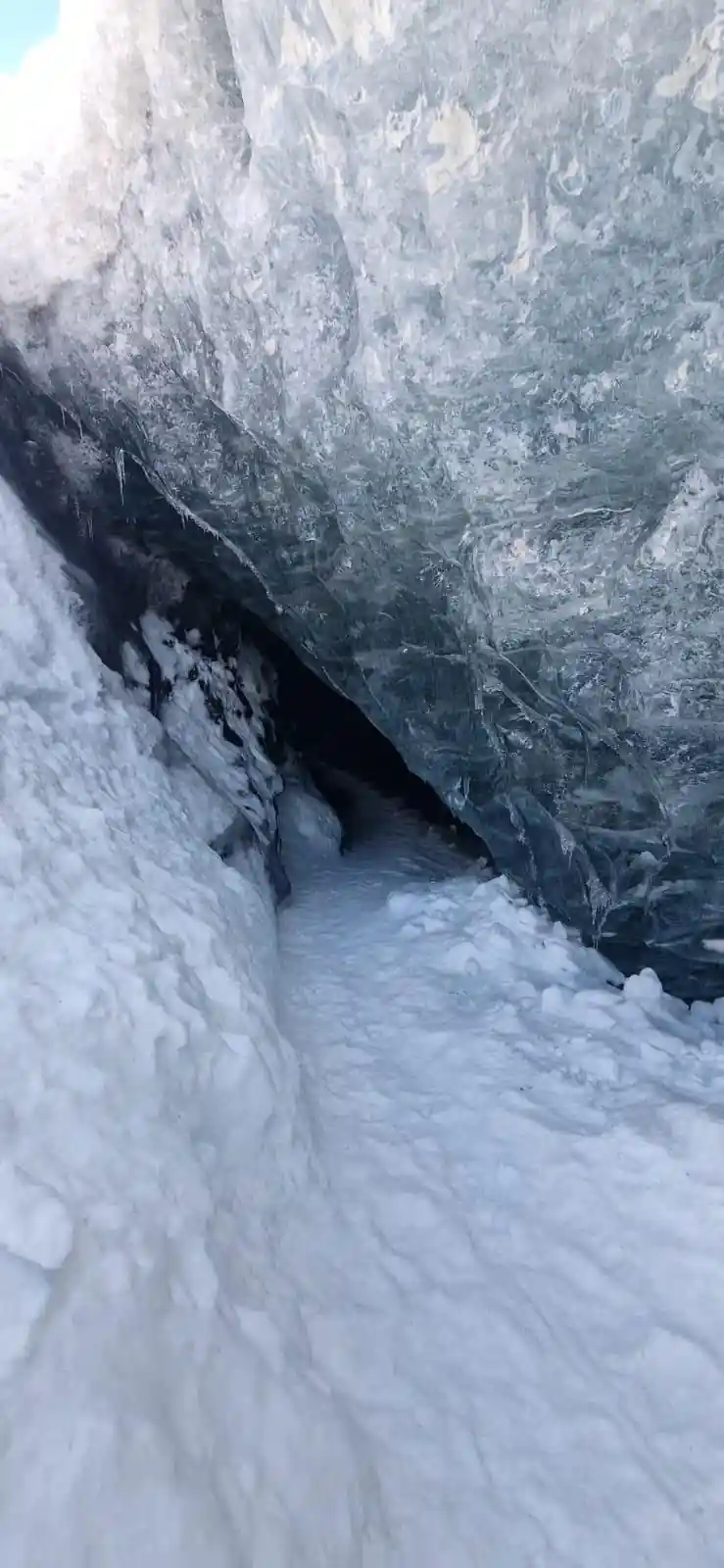
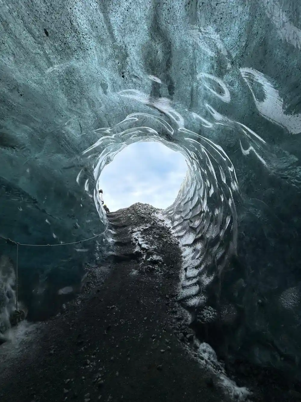
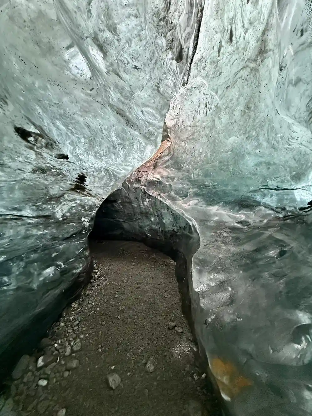
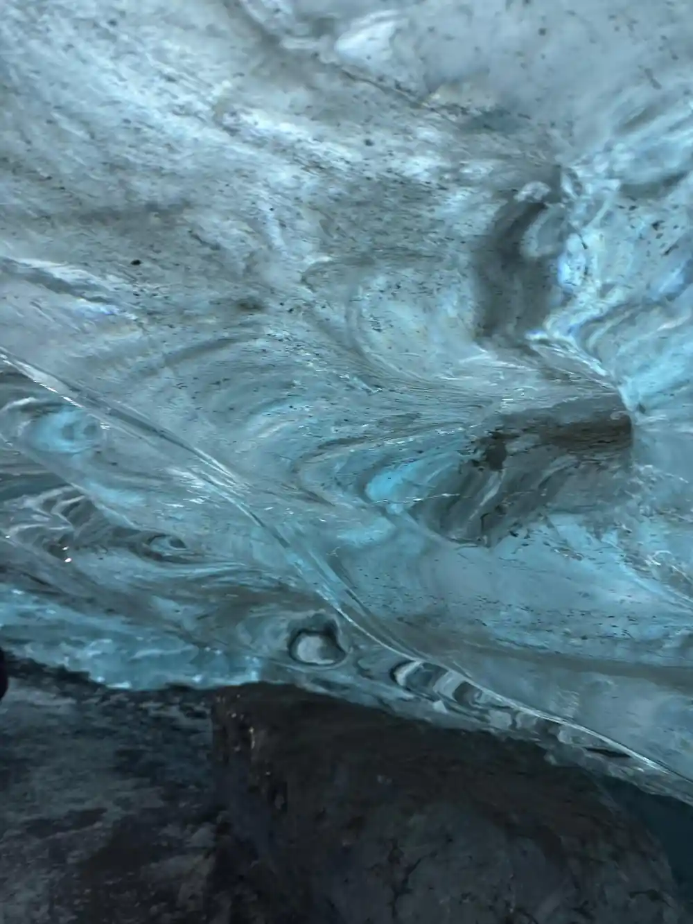
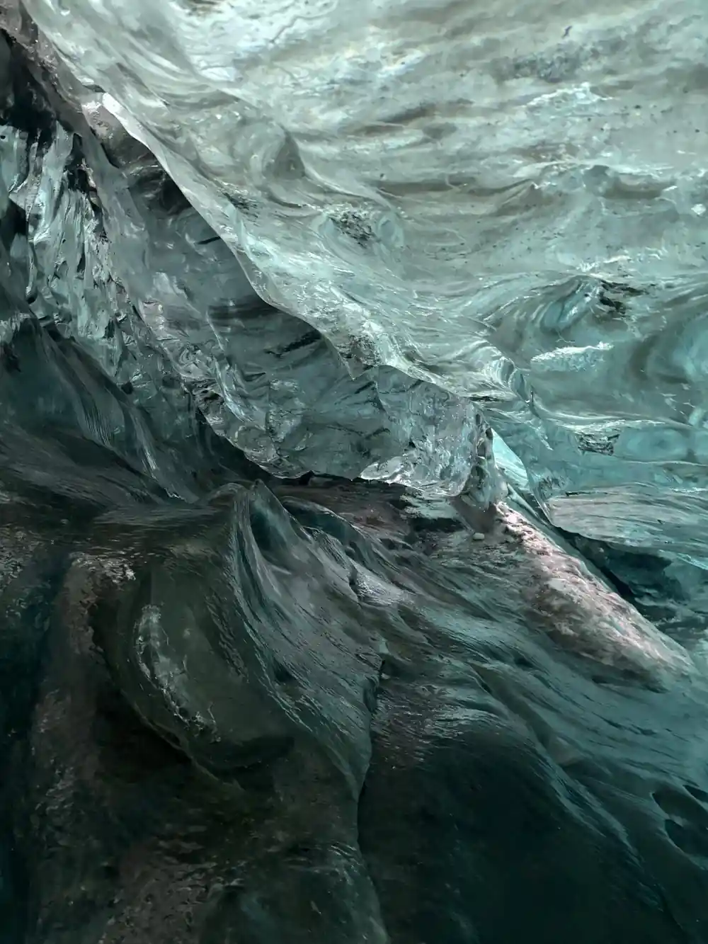
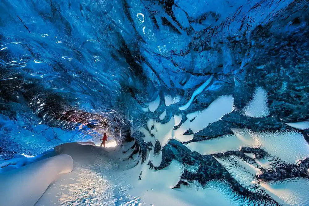
Blue ice inside a Vatnajökull cave, carved and reshaped by meltwater each winter.
Trolls, sagas and the folklore of the ice
Icelandic folklore grew up around exactly this sort of landscape: ice that groans and shifts, rivers that change course, cliffs that appear out of fog. In the old stories, trolls caught outside at sunrise turned to stone, and odd rock stacks along the coast are still pointed out as the ones who stayed out too late. Hidden people, outlaws and seals that were once human live in the same tales, usually in places that are hard to reach and easy to imagine.
Guides tell these stories on the drive, and they are best taken as stories rather than history. What they carry is a habit of paying close attention to ground that does not hold still: naming a cave, a river mouth or a rock, so that a warning or a memory has somewhere exact to attach itself. Standing under a glacier wall, it is easy to see why.
You may also hear the word saga used loosely. The medieval sagas are family histories written down long after the events, full of feuds, lawsuits and long rides across the country. They are not about the ice cap, but they set the tone for how Iceland talks about its landscape: precisely, dryly, and with a strong sense of place.
Why each glacier tongue carries its own name
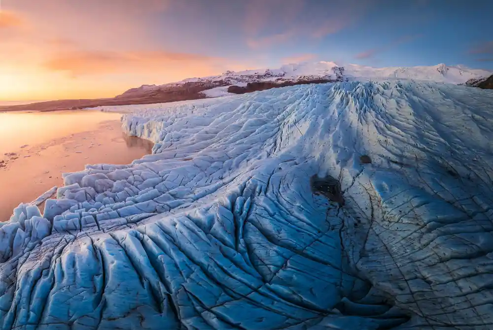
Vatnajökull is not one tidy block of ice sliding downhill. It spills out of the high ground in separate tongues, and each tongue behaves like a glacier of its own: moving at its own pace, cracking in its own pattern, and carrying its own name on the map. Breiðamerkurjökull is the tongue that calves into Jökulsárlón, which is why the icebergs drifting past the car park and the cave tours that leave from there are tied to that single name.
Naming them separately matters for safety as well as storytelling. Breiðamerkurjökull has retreated at an annual rate of up to 200-300 m in recent years.[5] In front of it, Jökulsárlón lagoon is 248 meters (814 feet) deep and has quadrupled in size since the 1970s.[4] When a guide says a cave is on Breiðamerkurjökull this winter, they are naming one specific, moving piece of ice rather than a general idea of glacier.
That is also why ice cave tours change route from one season to the next. The cave you walk into is not a permanent landmark with a fixed address; it is a temporary room inside a named tongue of ice, and the name is the closest thing it has to a location.
from US$164
The Vatnajökull Ice Cave Guided Tour starts at Jökulsárlón and is rated 4.25 from 2,171 reviews, with a guide in English.[3]
Vatnajökull National Park: ice, lagoon and coast
The park gathers a huge range of scenery into one protected area: an ice cap, the outlet glaciers that drain it, the lagoon where the ice ends up, black sand and the rivers that carry meltwater to the sea. The ice is deep. The thickest point of the Vatnajökull ice cap is 3,120 feet (950 m), with an average thickness of 1,250 feet (380 m).[2] The lagoon has a longer history than the tour buses suggest: its tidal inlet was excavated during the last glacial advance, about 26,500 years ago.[9]
Wildlife uses the water too. Harbour seals are the most common seal species in the area.[10] Icebergs that calve from Breiðamerkurjökull drift out through Jökulsárlón Glacier Lagoon and wash ashore on the black volcanic sand of Diamond Beach in Southeast Iceland.[11] Some of the icebergs that calve into the lagoon are thought to be made of ice more than 1,000 years old.[4]
Put together, the ice cap, the lagoon, the beach and the sandur form one connected system that changes every year. That is the thing to hold on to while you are there: not a postcard view, but weather and water and ice moving through a place at their own speed.
Ice cave season and when guides run tours
Ice caves under Vatnajökull are a winter and spring affair. A natural ice cave in Vatnajökull lasts one winter, forming in October and remaining through April before returning meltwater takes it back in May.[1] Operators watch the caves through the season and shift routes when a roof thins or a passage fills with water. The blue that fills the photographs comes from the ice itself: glacier ice appears blue because crystals in the deep ice absorb long wavelengths of light and scatter short-waved blue light.[12]
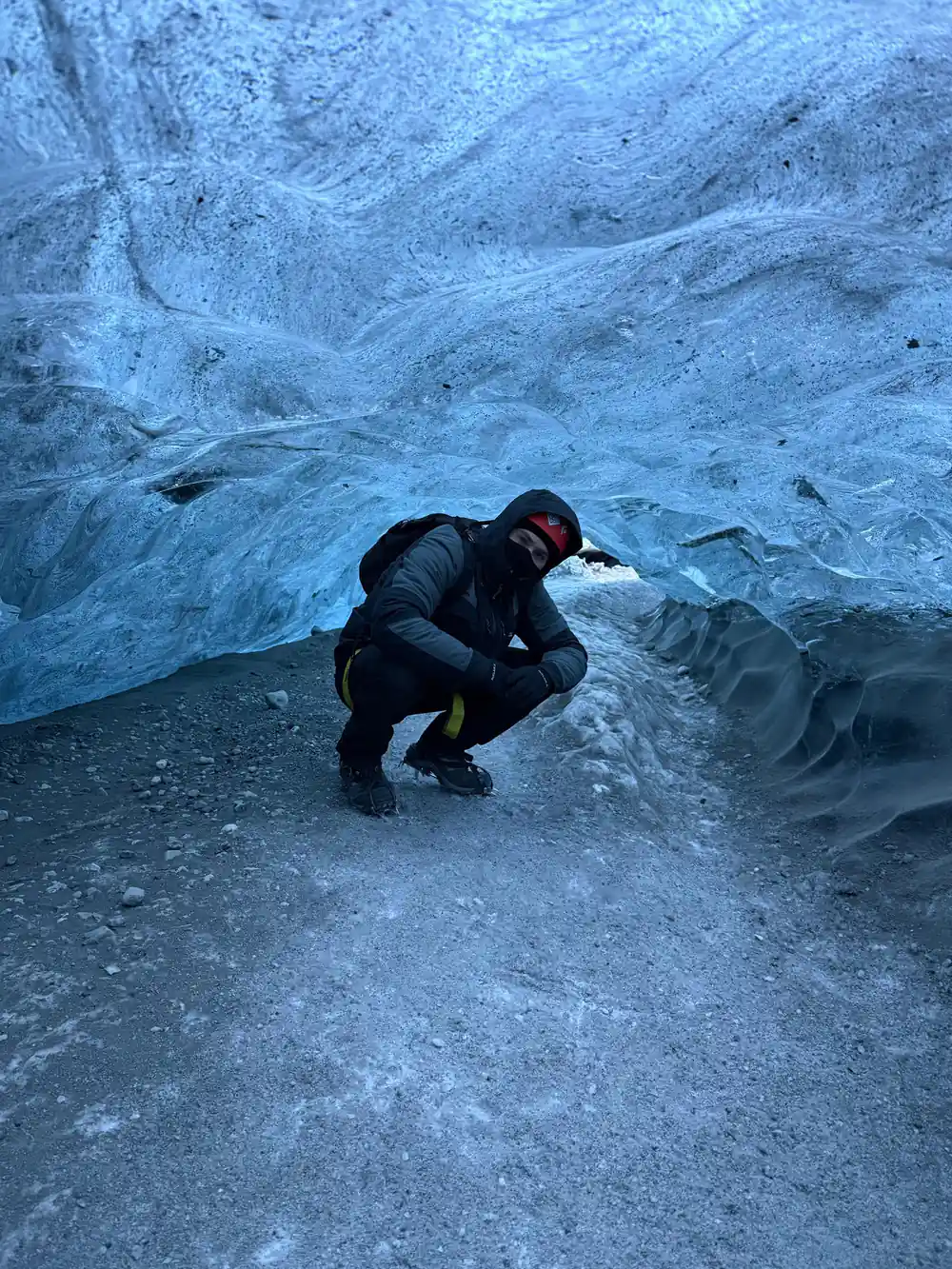
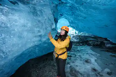
Winter days are short and cold. Average winter temperatures in Iceland are around 32°F (0°C), and daylight ranges from 4 to 5 hours in late December to about 21 hours by late June.[6] Inside the cave, a sturdy helmet is essential safety equipment, protecting against falling ice and low-hanging ceilings, and it is generally provided by the tour operator.[7] Guides generally hand out helmets; your job is warm, waterproof layers you can move in and boots that grip on ice.
Starting times move through the winter with the light, so the time on your booking is worth checking again a day or two before you go. If you have a long drive ahead of you, an earlier slot leaves margin for weather and road conditions.
Getting to Jökulsárlón and planning the day
Jökulsárlón sits a long way east of the capital. It is about 370 km (230 miles) from Reykjavík, and the drive takes roughly 5 hours each way in good conditions.[8] Most people break the journey somewhere along the south coast and sleep near the lagoon or at Skaftafell, which makes an early start much easier. Treat the road, not the clock, as your guide; waterfalls, sheep and sudden weather all take time.
Summer is busy on the shore. Around 100,000 tourists visited Jökulsárlón Glacier Lagoon in July alone during one of its busiest summers on record.[13] Winter brings short daylight, smaller crowds and the months when the natural caves exist at all. Film fans get a small bonus: Jökulsárlón Glacier Lagoon was a filming location for A View to a Kill, Die Another Day, and Lara Croft: Tomb Raider.[14]
If you would rather not drive yourself, the tour booked from this site, the Jökulsárlón: Vatnajökull Ice Cave Guided Tour, lasts 3 hours from US$164 with a live guide in English and free cancellation up to 24 hours in advance.[3] It starts at Jökulsárlón and heads out across the ice in a jeep or SUV.
How deep the ice and the lagoon go
All values are metres, stated by[2] for the ice cap and[4] for the lagoon.
Ice cave tours from Jökulsárlón, from prices
From prices per person in US dollars as listed on GetYourGuide for[3],[15],[16] and[17].
When to go for the ice caves
Ice cave day, step by step
Learn the name
Say Jökulsárlón and Vatnajökull out loud before you set off. The pieces are simple once you know that j sounds like y.
Pick your season
Natural ice caves in Vatnajökull form in October and last through April, taken back by meltwater in May.[1]
Book the tour
The Vatnajökull Ice Cave Guided Tour lasts 3 hours from US$164, with free cancellation up to 24 hours in advance.[3]
Know the drive
Jökulsárlón is about 370 km (230 miles) from Reykjavík, and the drive takes roughly 5 hours each way in good conditions.[8]
Dress and meet
A helmet is essential inside the cave and is generally provided by the tour operator; bring warm, waterproof layers and boots.[7]
Walk inside the blue ice under Vatnajökull
from US$164Reserve now & pay later