The quick version
- Jökulsárlón's tidal inlet was excavated about 26,500 years ago, and the lagoon has quadrupled in size since the 1970s.[1][2]
- Breiðamerkurjökull calves into the lagoon and has retreated at an annual rate of up to 200-300 m in recent years.[3]
- A View to a Kill, Die Another Day and Lara Croft: Tomb Raider were all filmed at Jökulsárlón Glacier Lagoon.[4]
- A natural Vatnajökull ice cave forms in October, lasts through April and is taken back by meltwater in May.[5]
- The guided ice cave tour from Jökulsárlón takes 3 hours and runs with a live tour guide in English.[6]
- Top choice Vatnajökull Ice Cave Tour from US$164 Duration3 hours[6]Rating4.25 from 2,171 reviews[6]GuideLive tour guide: English[6]CancellationFree cancellation up to 24 hours[6] Check availability
- Crystal Ice Cave Super Jeep from US$173 Duration2.5 hours[7]Rating4.21 from 1,751 reviews[7]GuideLive tour guide: English[7]CancellationFree cancellation up to 24 hours[7] See this tour
- The Original Ice Cave Tour from US$161 Duration3 hours[8]Rating4.61 from 1,129 reviews[8]GuideLive tour guide: English[8]CancellationFree cancellation up to 24 hours[8] See this tour
Also called Jökulsárlón Lagoon, this tidal inlet was excavated during the last glacial advance, which was about 26,500 years ago.
Is the Jökulsárlón ice cave tour worth booking?
Know this first
What to wear and bring
A Landscape Born in the Last Century
Jökulsárlón looks timeless in photographs, but the lagoon itself is a recent arrival on an old coastline. The tidal inlet that shares its name was excavated during the last glacial advance, about 26,500 years ago.[1] The modern lagoon grew later, when the retreating glacier pulled back from the shore and meltwater filled the hollow it left behind. Since the 1970s Jökulsárlón has quadrupled in size, and it is 248 meters (814 feet) deep.[2]
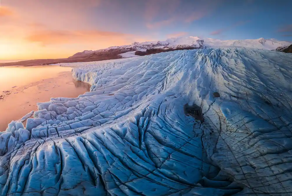
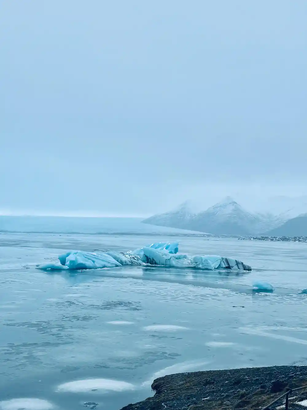
The ice is still on the move. Where Breiðamerkurjökull calves into the lagoon, the glacier has retreated at an annual rate of up to 200-300 m in recent years.[3] The lagoon keeps reshaping as the ice withdraws, and the bay one winter photographs is not the same bay the next. Some of the icebergs drifting past are far older than the water around them, and a few of those calved from Breiðamerkurjökull are thought to be made of ice more than 1,000 years old.[2]
Under all of this sits the ice cap itself. The thickest point of Vatnajökull measures 3,120 feet (950 m) in depth, with an average thickness of 1,250 feet (380 m).[11] A cave inside that mass is a pocket of air in a body of ice that has been building for a very long time, and the walls you touch are the oldest thing on the trip.
Crossing the Vatnajökull River: A Perilous Past
Glacial rivers behave nothing like the rivers most travellers know. They run grey with rock flour, spread into braided channels across black sand, and shift after a heavy melt or a volcanic flood, so a crossing that worked one season could be gone the next. Before a road ran this way, reaching the southeast coast meant reading those channels and taking a chance on them. The water under the bridge still comes straight off the ice.
Distance shaped this coast as much as water did. Jökulsárlón is about 370 km (230 miles) from Reykjavík along Route 1, and the drive takes roughly 5 hours each way in good conditions.[12] That is a long way for a single day. Many travellers sleep near Skaftafell, Höfn or the lagoon itself and treat the drive as part of the trip rather than a chore to be rushed.
Winter rewrites the plan again. Average temperatures across Iceland sit around 32°F (0°C) in winter, and daylight ranges from 4 to 5 hours in late December to about 21 hours by late June.[10] The same drive feels very different in grey winter light than it does under the midnight sun, and the cave season ends before the long days arrive.[5]
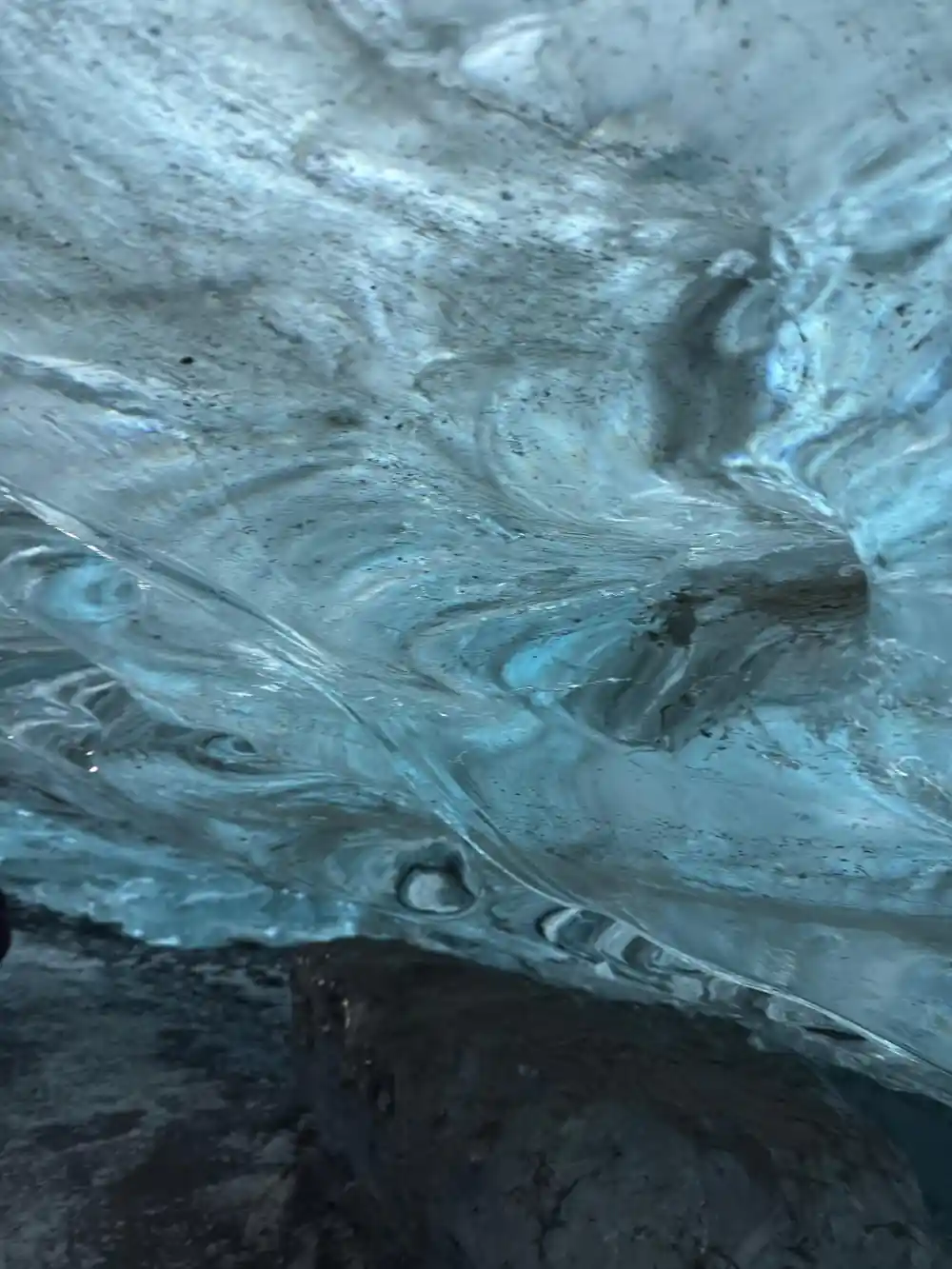
Icebergs drifting from Breiðamerkurjökull towards the Atlantic
The Ring Road Bridge: Connecting Iceland
The bridge over the lagoon outlet is a modest piece of engineering that turned a shoreline into a viewpoint. Route 1, the Ring Road, runs along the south coast from Reykjavík and passes the lagoon.[12] Coaches, hire cars and campervans share the car park on the western side, and from the bridge you look one way to the glacier and the other way to the open sea.
Diamond Beach is a short walk across the road. It is in Southeast Iceland and is formed by black volcanic sand scattered with clear glacial ice that breaks off from Breiðamerkurjökull, drifts through Jökulsárlón Glacier Lagoon, and washes ashore.[13] The ice does not stay put for long, so the beach looks different after every tide.
Both stops sit close enough to visit on foot in the same hour. Walk the path along the lagoon edge first, watch the ice move, then cross to the sand and pick your way between the stranded pieces. Keep an eye on the water: it is cold, fast and not somewhere to paddle.
Why Icelanders Name Their Glaciers
Icelandic glacier names are descriptions rather than dedications. The word jökull means glacier, and it appears again and again along this coast: Vatnajökull, Breiðamerkurjökull, Fjallsjökull, Svínafellsjökull. Each name points at something visible, a sand plain, a mountain, a shape in the ice, so the map reads a little like a set of notes left by people who walked the ground.
It helps to know that these are separate bodies of ice with separate habits. Breiðamerkurjökull is the Vatnajökull outlet glacier that calves into Jökulsárlón lagoon.[3] The lagoon below it is fed by that calving ice, and the flats around it are built from the sand and gravel the meltwater carries down.
Life turns up wherever the ice meets water. The lagoon gives seals room to swim and feed, and harbour seals are the most common seal species in the area.[14] Bring binoculars and scan the calm water between the icebergs; a head breaking the surface is easy to miss against grey ice.
from US$164
The guided ice cave tour from Jökulsárlón runs for 3 hours with a live tour guide in English.[6]
Ice in Icelandic Folklore and Legend
Long before anyone measured a glacier, Icelanders told stories about them. Trolls caught out at sunrise and turned to stone, hidden people living in rocks and cliffs, valleys said to be cursed or blessed. Ice and rock are the settings for those tales, and the same landscape that hides a blue cave also produces the sort of weather that makes a good story seem reasonable.
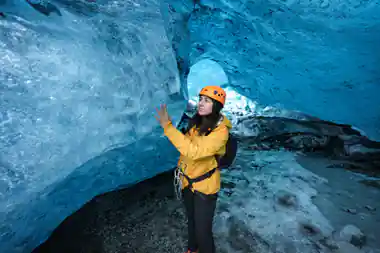
Modern safety advice is less poetic and far more useful. A sturdy helmet is essential safety equipment inside an ice cave, protecting against falling ice and low-hanging cave ceilings, and it is generally provided by the tour operator.[9] The rest is simple: keep your hands free, watch where the guide steps and stay on the route they set.
Names do some of the same work as stories. A glacier that advances over a farm or blocks a valley gets remembered in the name it is given, and those names are still on the maps. Ask your guide what the local name for a cave, a ridge or a river actually means; the answer is usually a plain description of what you are standing in front of.
Hollywood Discovers Jökulsárlón
Film crews found the lagoon long before most visitors did. Jökulsárlón Glacier Lagoon was a filming location for A View to a Kill, Die Another Day and Lara Croft: Tomb Raider.[4] Icebergs, black sand and a grey-green sea need almost nothing added to them, which is exactly what a location scout is looking for.
The word got out. Rangers at Jökulsárlón Glacier Lagoon have faced one of their busiest summers on record, with around 100,000 tourists visiting in July alone.[15] Arrive early, stay late, or travel outside the peak weeks if you would rather hear the ice crack than the sound of a coach door closing.
Photographers work the same few spots. The lagoon side for reflections and seals, the bridge for a wide view towards the glacier, and the sand across the road for ice lit up on black volcanic grains. In winter the light stays low and soft for hours, which suits the blue of the ice; in summer you may be shooting at ten at night.
Into the Blue: Your Ice Cave Experience
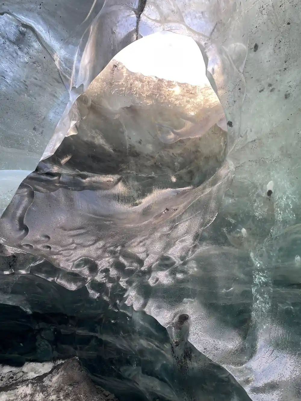
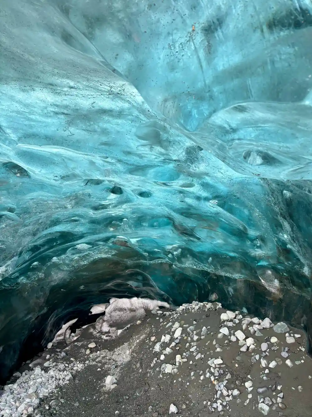
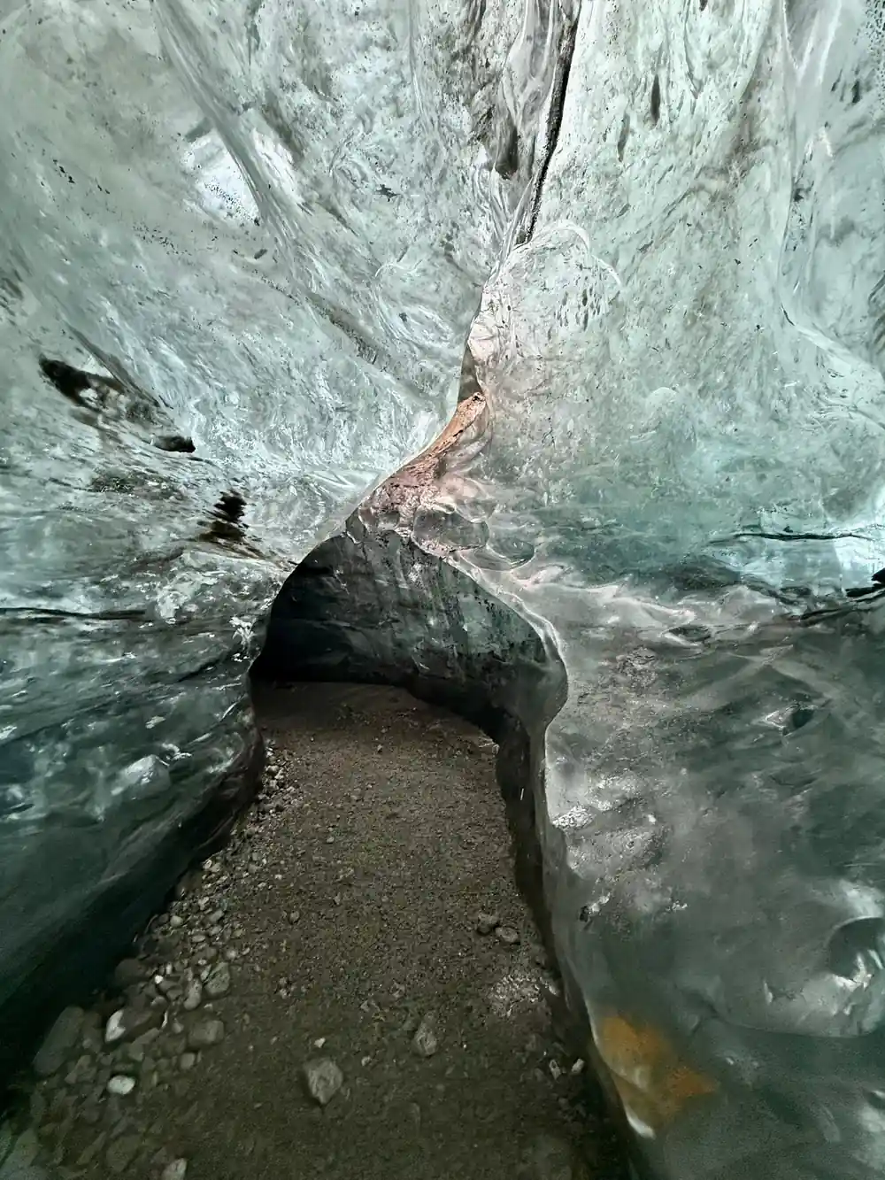
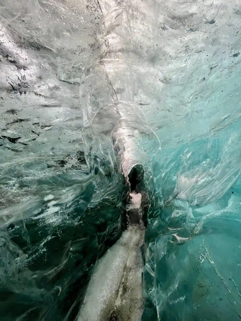
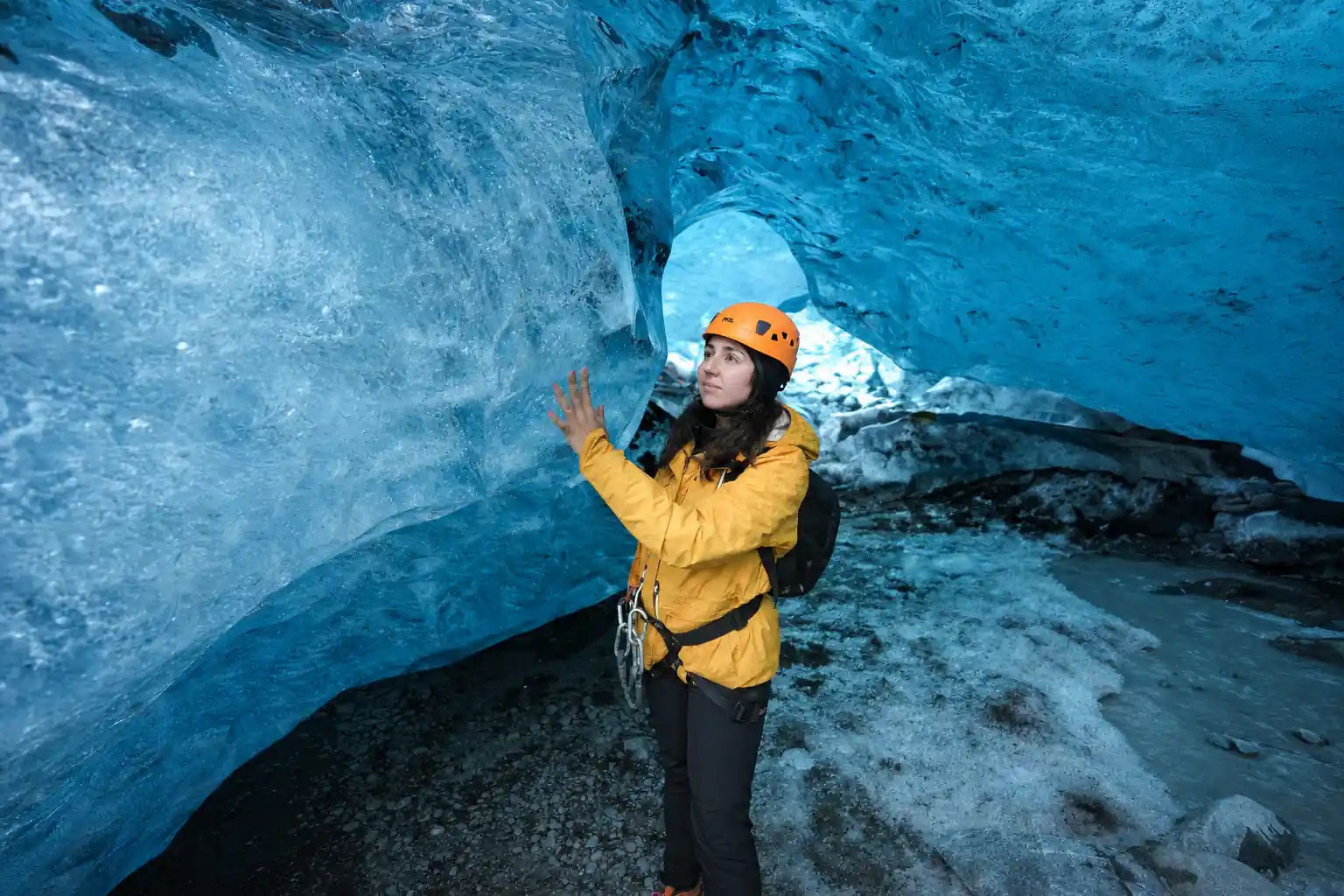
The blue inside the cave is not a trick of the light or a filter. When light hits the large, dense crystals in deep glacier ice, they absorb long wavelengths and scatter short-waved blue light, which makes the ice appear blue.[16] Air has been pressed out of that ice over centuries and the crystals have grown large, so the colour you see is the ice itself.
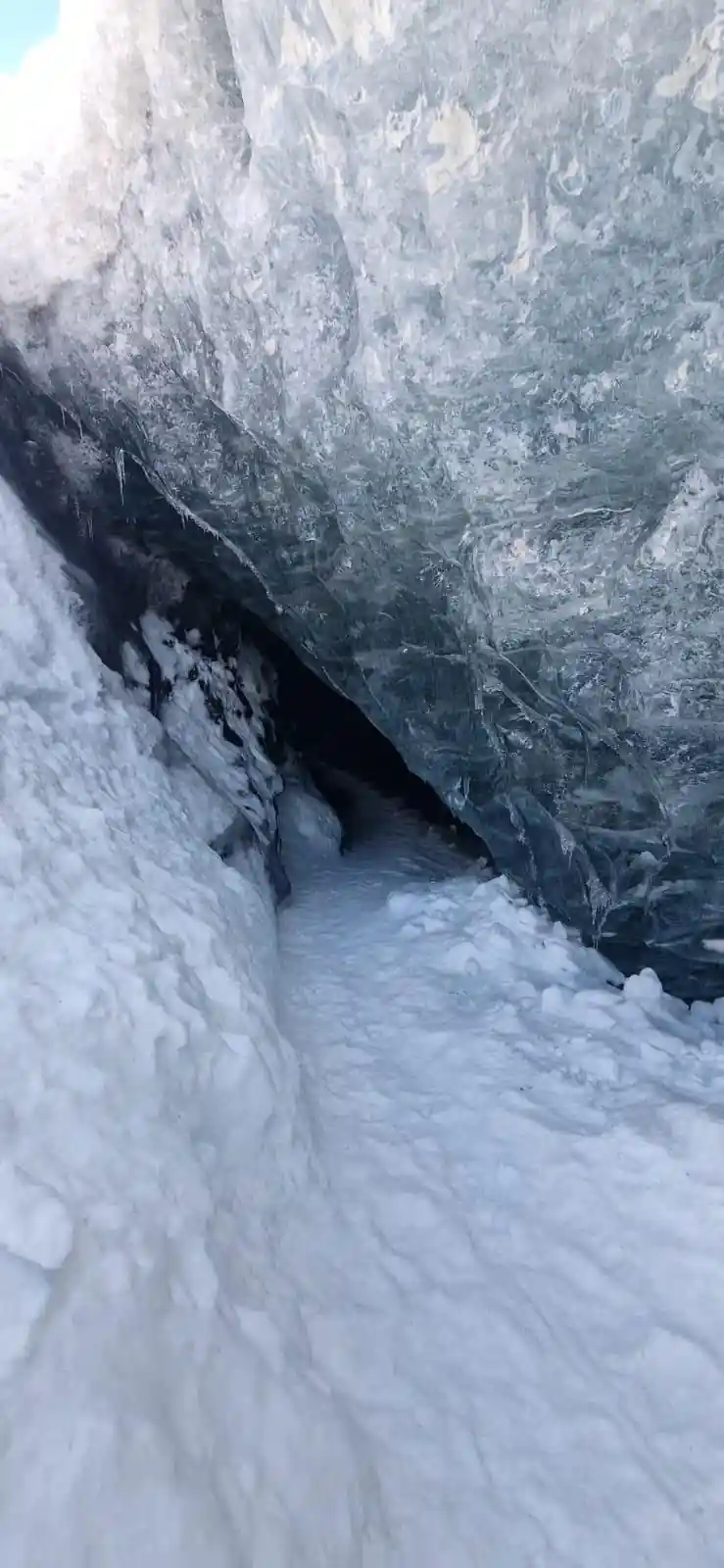
A natural ice cave in Vatnajökull lasts one winter. It forms in October and remains through April, holds its coldest and bluest form from December to February, and is taken back by meltwater in May.[5] Each winter's cave is a different cave.
The guided tour from this site keeps the logistics simple. It starts from US$164, lasts 3 hours and runs with a live tour guide in English, and you can reserve now and pay later.[6] It begins at Jökulsárlón, continues by jeep or SUV to Vatnajökull National Park, and returns the same way, with free cancellation up to 24 hours in advance for a full refund.[6]
How long ice cave and glacier tours from Jökulsárlón last
From-prices for ice cave tours at Jökulsárlón
From-prices per listing:[6],[8],[7],[19],[17]. No child prices are listed for these tours.
When the natural ice cave season runs
Planning your ice cave day
Pick your slot
Check availability for starting times before you book; winter daylight is short.[6][10]
Base yourself nearby
Jökulsárlón is about 370 km (230 miles) from Reykjavík, roughly 5 hours each way in good conditions.[12]
Meet at the lagoon
Meet at Jökulsárlón for the jeep or SUV transfer to Vatnajökull National Park and the cave.[6]
Dress for ice
Warm layers, a waterproof shell and boots you can walk on ice in; a sturdy helmet is generally provided.[9]
Bring a simple camera kit
Blue ice in low light rewards a steady hand and a fast lens, and a phone in a warm pocket works too.
Walk into the blue ice on a guided Vatnajökull tour
from US$164Reserve now & pay later